Using public participation Geographic Information Systems in studies for healthy built environments: developing our tools and methods

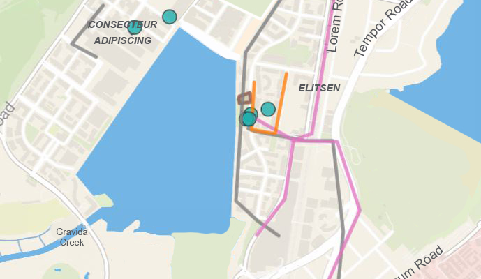
With new advances in public participation Geographic Information Systems and the increasing use such these tools for participatory mapping of various spatial data, urban designers need to understand the usefulness of these tools in investigating micro-scale physical characteristics of urban settings.


