
The meaning, measurement, causes and consequences of social connectedness in cities. A useful primer and pragmatic framework for healthy cities, urban futures and public health.
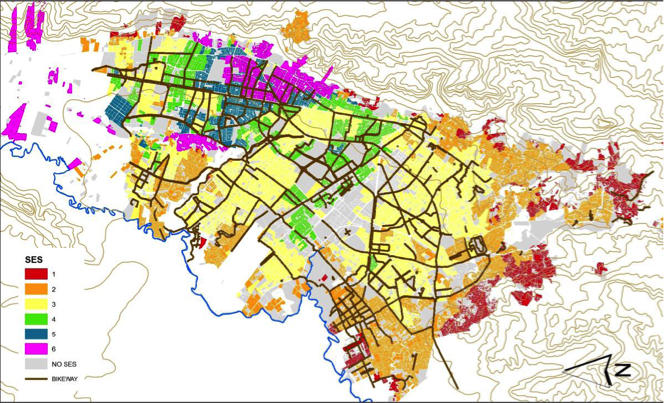
As emerging challenges have made urban areas increasingly vulnerable, jeopardizing the health and well-being of their inhabitants, resilience should be seen as a pathway for healthy cities and integrated into urban planning practices. This study shows if and how existing indicator frameworks can identify urban systemic vulnerabilities and priorities for resilience building to provide local authorities with evidence crucial in planning for healthy and resilient cities.
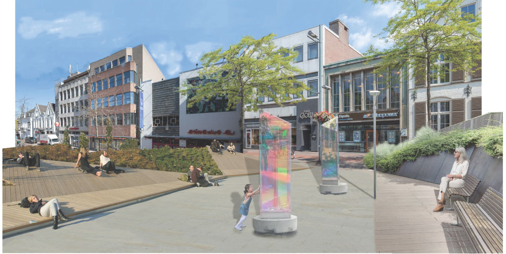
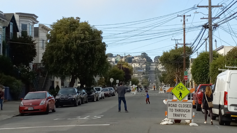
Poorly designed neighbourhood outdoor spaces can harm citizens’ mental health, such as presenting them with information overload, crowding or low exposure to nature. Our research explored which design elements can support urban designers in designing neighbourhood outdoor spaces that can reduce stress and attention fatigue and improve the mental health of all citizens.