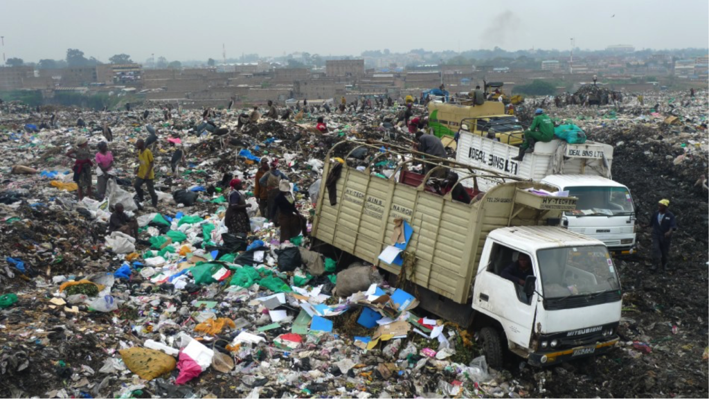
Solid waste production is rapidly increasing in Kenyan cities. However, the implementation of available policies to address the canker leaves much to be desired.
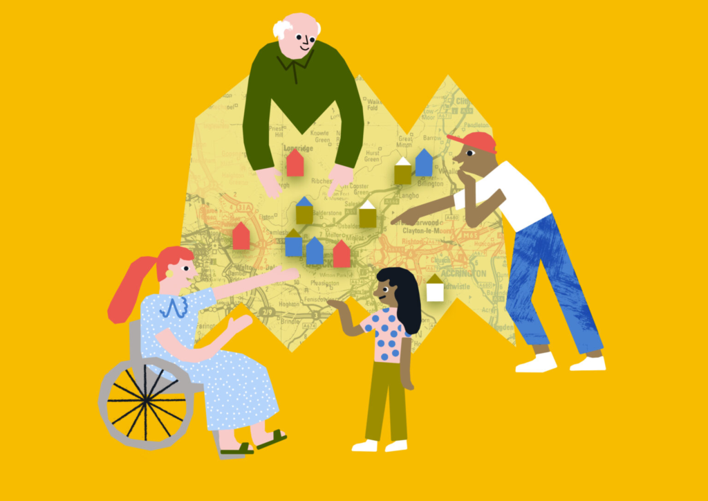
How can community consultations in planning be more effective, inclusive, and be ready for the post-pandemic era? Results from the project Community Consultation for Quality of Life find that participation in consultation can lead to increased wellbeing for individuals and communities.
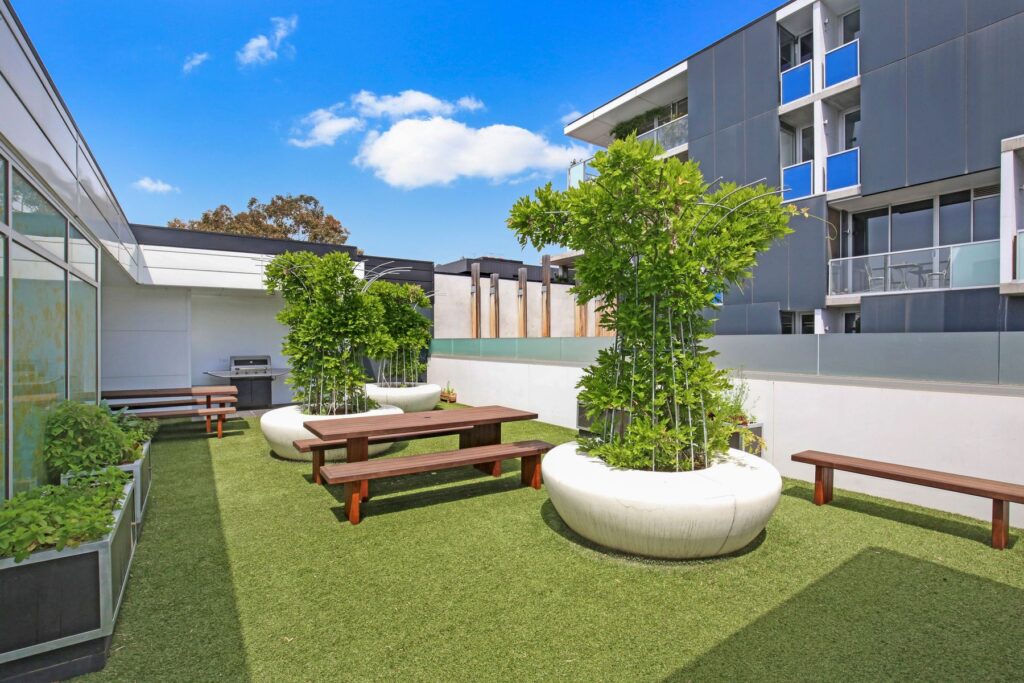
Higher quality communal areas (including amenities/features such as greenery, pools, barbecues, seating and a ground floor location) were associated with greater use of communal areas in apartment developments.